Oaxaca, Mexico
Profile
Capital
Area
Population
Population density
Government
Language
Currency
HDI
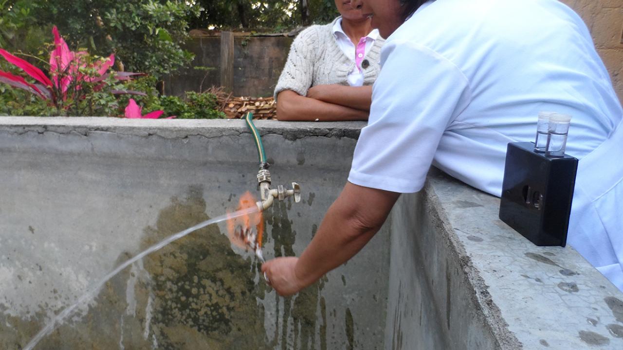
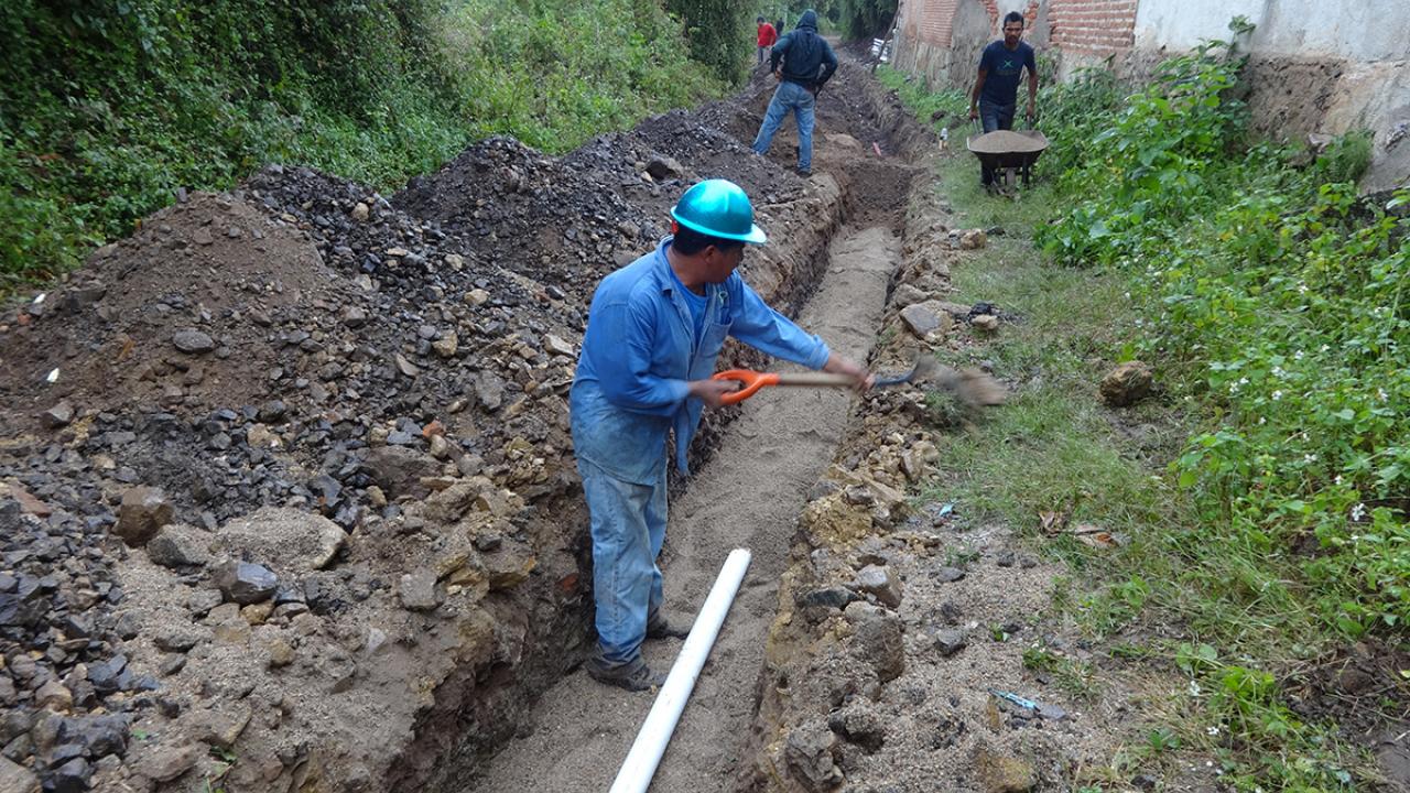
Rural Data
Rural Popullation
Nº rural communities
Estimate of Nº of rural systems
Estimate of Nº of service providers
The state of Oaxaca is located in the southwest of the Mexican Pacific region: it shares its northern borders with the states of Puebla and Veracruz, on the east is Chiapas, and on the west, Guerrero.
“Oaxaca” comes from the nahuatl word Huaxyacac, which means “on the nose or on the tip of the gourds”. In view of its size, Oaxaca is ranked fifth with 568 kilometers of coastline. The Free, Sovereign State of Oaxaca was created by decree of the Honorable Congress of the Union on 3 February 1824. According to its political, economic and social configuration, Oaxaca is divided into eight geo-economic regions: Cañada, Costa, Istmo, Mixteca, Papaloapan, Sierra Norte, Sierra Sur and Valles Centrales. Oaxaca is home to around 19 ethnic groups: Afro-Mexicans along the little-developed coast of Oaxaca, and Amuzgos, Chatinos, Chinantecos, Chocholtecos, Chontales de Oaxaca, Cuicatecos, Huaves, Ixcatecos, Mazatecos, Mestizo, Mixes, Mixtecos, Nahuas, Tacuates, Triquis, Tzotziles, Zapotecos and Zoques. Over 34% of the population speaks an indigenous language, being the most widespread Zapoteca, Mixteca, Mazateco and Mixe. Geologically speaking, Oaxaca is considered the most complex area in Mexico because of its highly seismic nature which gives rise to very diverse regions, with one of the richest flora and fauna in Mexico.